Three-quarters of UK adults can’t read a map – here’s how to get better
A study by Ordnance Survey to coincide with National Map Reading Week paints a sorry picture of our navigation skills. But there are ways to improve …
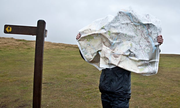
Just how far is it to the pub? Three-quarters of UK adults are in danger of never finding out, according to a poll commissioned by Ordnance Survey to mark National Map Reading Week (11-17 July). It found that 77% of respondents couldn’t recognise the most basic OS map symbols, such as viewpoints and pubs. (The latter is marked with a classic pint “jug” glass with handle, so could the ignorance be down to the switch to straight beer glasses?)
But despite the popularity of walking – and the huge boost it saw during and after lockdowns – it seems most of us are still woefully bad at using a map to guide us.
Of the 2,000 adults surveyed, more than half (56%) admitted they’d got lost because they couldn’t use a map or follow a phone app correctly, with 39% resorting to calling friends and family, 26% flagging down help, and 10% calling mountain rescue to get home.
Even when they’re not actually getting lost, 31% said they were worried they might. Many adults (46%) said they were happier walking with someone else.
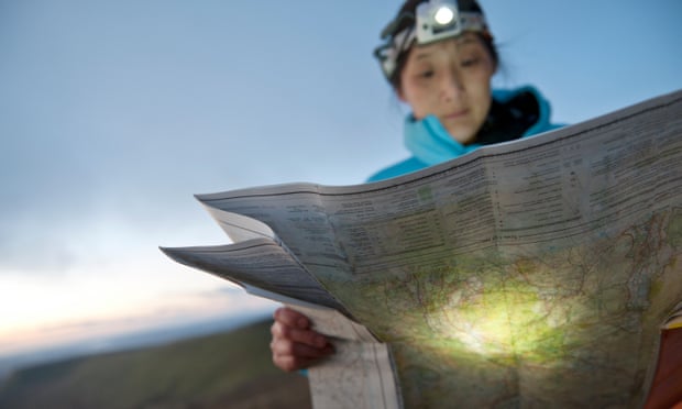
OS GetOutside ambassador Julia Bradbury said knowing a few basics about how to read maps, understanding symbols, contour lines and grid references can transform how you feel about getting outside.
“On the face of it these results seem to show the British public have a lack of confidence regarding their map-reading skills. It’s a shame, but can be quickly rectified.
“Map-reading skills give self-assurance and ease the fear of getting lost. That knowledge can unlock the outdoors and lead to wonderful adventures and discoveries.”
OS’s managing director for leisure Nick Giles said one of the key reasons they run National Map Reading Week (launched in 2016) is to make the outdoors “fun, accessible and safe.”
“We want to encourage people to better understand how good map skills, paper and digital, can inspire people to safely discover new places and adventures.
READ RELATED: Woman calls out the 'cruel standards' pregnant women face when forced to work during their pregnancy
“We have a fantastic set of map-reading resources on our GetOutside website, so take some time to watch our videos or read the blogs,” Giles said.
OS’s tips for map reading
Choose the right map
The orange OS Explorer maps are 1 to 25,000 in scale, so every four centimetres on the map is a kilometre on the ground in real life. These are good for walking, running, kayaking and cycling. The pink OS Landranger maps are 1 to 50,000 in scale, so a kilometre for every two centimetres on the map, and suited for national trails such as Offa’s Dyke Path or the South Downs Way.
Understand map symbols
A key to what the map symbols mean is printed on every OS Explorer and Landranger map.
Understand contour lines
The faint reddish brown lines have a number that shows height above sea level. On a shallow slope the contour lines will be far apart, but if a slope is much steeper the lines are closer together.
Need more help? Map-reading courses
Pure Outdoor runs free online map-reading courses, with theoretical training and practical exercises. The course comes in email format, with one lesson sent out each week for four weeks.
For something more active, Team Walking has one-day map-reading courses in the Yorkshire Dales (£60pp, next one with availability 3 August; more available throughout autumn and winter).
Mountain Skills runs one-day map-reading and navigation courses (from £50pp) in the Lake District, Northumberland and the Pentland Hills near Edinburgh.
London-based Gutsy Girls runs women-only map-reading and navigation skills courses on the Ashridge Estate in Hertfordshire (£40pp, meet at Berkhamsted station).
Peak District navigation courses with Beyond the Edge run to expert level, but its one-day intro to navigation course (£80pp, start at Grindleford) promises to demystify maps and introduce the compass so participants can confidently navigate a simple route.
Source: Health & wellbeing | The Guardian